

Epicenter, magnitude and depth
The Japan Meteorological Agency recorded a 5.7‑magnitude earthquake west of Shizuoka at 01:04 local time. The quake originated about 40 kilometers below the surface, a depth that typically produces strong shaking over a broad area but reduces the likelihood of a large tsunami. Seismograms show a sharp P‑wave arrival followed by sustained S‑wave shaking consistent with a moderately shallow crustal event.
Areas affected and intensity reports
Shaking was felt strongly across Shizuoka and Aichi prefectures and reported in neighboring regions. Local intensity reports (JMA scale and eyewitness accounts) indicate brief but vigorous ground motion—enough to disrupt standing passengers on trains and to dislodge unsecured objects in upper‑floor rooms. Damage so far is concentrated in older structures and non‑seismically braced fixtures.
Casualties, damage and emergency response
Authorities reported more than 20 people injured, mostly minor to moderate wounds treated at local hospitals. Emergency services performed rapid building inspections on priority structures (schools, hospitals, elevated rail viaducts). Municipal disaster teams activated portable lighting and search crews for walkable areas; no structural collapses requiring heavy rescue were publicly reported in the initial assessments.
Transport and infrastructure impacts
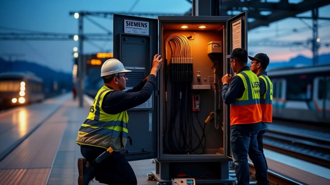
Train operations experienced delays and temporary suspensions while operators performed automated track and signal checks. Rail companies halted services on affected lines until safety inspections confirmed track integrity and clearances for overhead equipment. Highway patrols monitored bridges and tunnels for visible damage and removed debris from minor slope failures alongside some local roads.
Tsunami assessment and public advisories
No tsunami warning or advisory was issued following the quake. Given the quake’s depth and magnitude, coastal authorities concluded that a significant tsunami was unlikely. Officials nevertheless advised people near the coast to stay tuned to official channels and to move to higher ground if localized unusual sea behavior was observed.
Why this quake felt stronger in Aichi
Local geology amplified shaking in parts of Aichi prefecture. Sedimentary basins and reclaimed coastal plains can amplify seismic waves, increasing perceived intensity even at distances from the epicenter. Buildings on soft ground will sway more than those anchored on bedrock; that explains reports calling this the strongest tremor in Aichi in roughly 30 years.
What residents should do now — practical steps
Check for immediate dangers, help the injured, and inspect your home for hazards. Step‑by‑step: 1) Turn off gas if you smell it; 2) Extinguish small fires only if safe to do so; 3) Move away from unstable walls, tall furniture, and damaged stairways; 4) Use battery‑powered radios for official updates; 5) Prepare a grab‑and‑go bag with water, medication and documentation in case of evacuation.
How authorities will monitor aftershocks
Seismic agencies will track aftershocks and issue updated intensity maps and advisories. Aftershock sequences commonly follow an event of this size; most aftershocks decline in frequency and magnitude over days to weeks, but residents should expect intermittent shaking and follow guidance about checking gas, water and electrical systems after each jolt.
Context and historical comparison
Officials described this as the most intense shaking in Aichi in about three decades, a useful benchmark for preparedness. Comparing instrument records and felt reports helps planners prioritize retrofit programs and emergency resource staging in regions where basin amplification or older building stock raise risk.







Be the first to comment