
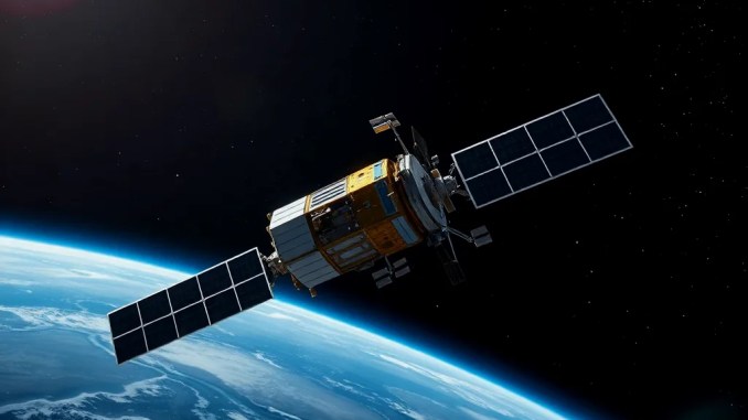
Tanluzhe 1A–1D launch summary
China launched the Tanluzhe 1A, 1B, 1C and 1D satellites into Sun‑synchronous orbit aboard a Long March 2D from the Jiuquan Satellite Launch Center. The mission achieved successful insertion and represents the 677th transport mission in the Long March family. The four satellites will operate for a planned two‑year primary mission and carry complementary payloads designed to deliver simultaneous measurements across gamma‑ray, low‑frequency radio, laser imaging and in‑situ plasma and magnetic sensors.
Payload roles and configuration
Tanluzhe 1A functions as the primary platform and carries the densest instrument suite: a wide‑field gamma‑ray telescope, a magnetic and velocity field imager, an upper‑atmosphere lidar imager, multiple plasma sensors, and a space weather monitoring package. Satellites 1B–1D act as distributed low‑frequency radio apertures that form an interferometric array with 1A for wide baseline measurements. The flight design emphasizes autonomous station‑keeping, precise time tag distribution and coherent data recording to enable cross‑correlation of weak, long‑wavelength signals.
Primary scientific objectives and expected outcomes
The mission pursues four measurable outcomes. First, wide‑field gamma‑ray monitoring will capture high‑time‑resolution photon events to characterize short transients such as gamma‑ray bursts and magnetar flares. Second, coordinated lidar and plasma observations will map upper-atmosphere density structures, enabling diagnosis of ionospheric drivers of radio degradation. Third, distributed low‑frequency interferometry will produce angular maps of coherent cosmic radio sources and search for previously inaccessible low‑frequency transients. Fourth, continuous space‑weather telemetry will support near‑real‑time products for operational users.
Interferometry approach and distributed satellite technique
Long wavelengths make physically large apertures impractical in space; The mission replaces a single huge antenna with multiple smaller elements. 1B–1D provide separations (baselines) that determine angular resolution, while 1A supplies central timing and reference telemetry. Each satellite time‑stamps raw voltage streams with sub‑nanosecond precision, buffers data, and uploads synchronized segments for cross‑correlation on the ground. The approach trades on precise orbit knowledge, deterministic clock baseline offsets and redundant baselines so that imaging algorithms can recover both phase and amplitude information despite ionospheric contamination.
Operations plan and data processing workflow
The Sun‑synchronous orbit stabilizes illumination and thermal cycles, simplifying routine operations. Ground operations will run continuous telemetry checks, periodic on-orbit software updates, and scheduled coordinated observing blocks. The data pipeline follows a four‑step workflow:
Step 1: align time stamps and correct for clock drift using onboard GPS and inter‑satellite ranging;
Step 2: form cross‑correlations of raw voltage streams between all antenna pairs to produce visibility matrices;
Step 3: apply calibration corrections that remove instrumental delays, phase offsets and known ionospheric modes;
Step 4: image reconstruction, parameter extraction and archival product generation for science teams and operational end users.
Examples of expected data and use cases
Gamma‑ray detectors will provide millisecond‑scale photon time series that let researchers test prompt emission models for short GRBs and substructure in magnetar outbursts. Lidar and plasma sensors will reveal mesoscale density ducts and traveling ionospheric disturbances; Those observations can be correlated with GNSS scintillation logs to directly trace causes of navigation errors. Low‑frequency radio maps will illuminate spectral turnovers, absorption features and scattering screens in the interstellar medium, and the array can detect coherent burst sources that evade higher‑frequency observatories.
Technological validations and in‑space demonstrations
The mission validates several enabling technologies for future science platforms: demonstration of space‑based low‑frequency interferometry protocols; operational coherent time distribution across a multi‑satellite cluster; lidar imaging in a compact spaceborne package; and co‑registered plasma/magnetic measurements for combined diagnostics. Success metrics include achieved timing accuracy, correlation efficiency, calibrated imaging dynamic range and instrument lifetime under SSO thermal cycling.
Risks, mitigation strategies and limitations
Key risks include launch and mechanical stress failures, onboard electronics faults, clock synchronization errors, insufficient orbit determination for interferometry and rapid signal degradation from terrestrial radio frequency interference (RFI). The mission mitigates these by carrying redundant critical electronics, implementing onboard watchdogs and health checks, using high-precision GNSS and inter-satellite ranging for orbit solutions, and applying robust RFI excision and adaptive calibration algorithms in the processing pipeline. Remaining limitations include finite baseline coverage (limiting instantaneous uv‑plane sampling) and sensitivity ceilings set by antenna size and thermal noise.
Short‑term and long‑term scientific impact
In the short term, Tanluzhe will supply new, co‑registered datasets that directly inform space‑weather forecasting and transient astrophysics. In the long term, the mission will provide operational experience and software tools for distributed interferometric observatories, enabling scaled arrays and deeper low-frequency radio surveys from space. Those capabilities will inform design choices for future mission classes that require synchronized, multi-platform sensing in challenging spectral regimes.









Be the first to comment