
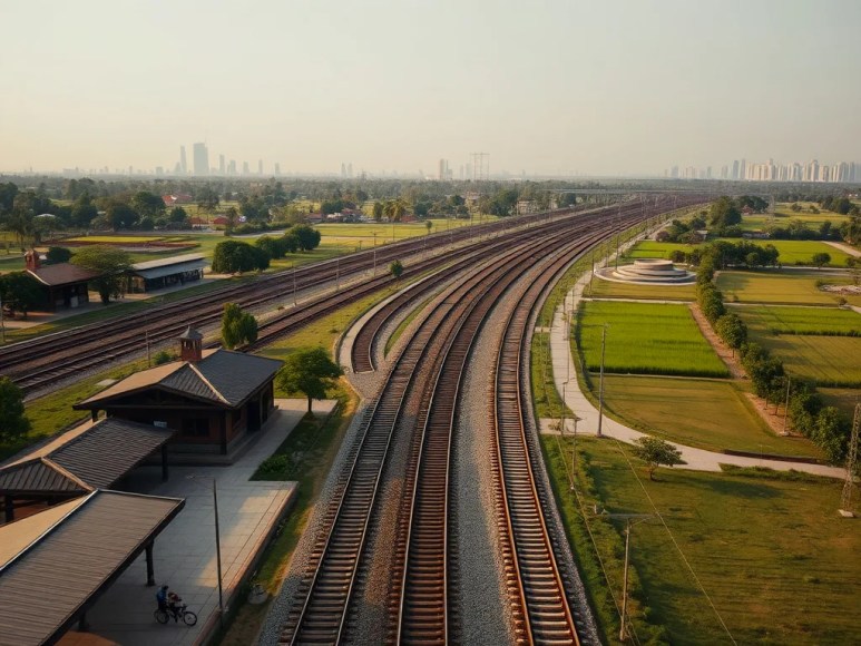
260-hectare land reserved to meet 100 years of rail expansion
Vietnam Railway Administration requests preservation of roughly 260 hectares around Ngoc Hoi so the hub can absorb phased rail growth through the next century. The detailed plan under review covers about 267 hectares; of that, planners expect to allocate approximately 152 hectares for station and rail operations and 115 hectares for transit-oriented development. Reserving this footprint prevents iterative land-shortage retrofits that drive high-cost expansion later.
Why planners propose 15 m high-speed train platforms
The technical review recommends increasing high-speed train platforms from 12 m to 15 m. Wider platforms reduce passenger-conflict points at peak interchange, simplify circulation flows between entrances, vertical circulation and platforms, and improve emergency egress times. For example, modeling for similar interchanges shows a 25–40% reduction in crowding hotspots when platform widths increase 20–30% while keeping circulation passenger clear of track-edge queuing.
Maintain through-running option north of Ngoc Hoi for operational flexibility
Rather than forcing all high-speed services to terminate, the administration asks to preserve a northward continuation option. Keeping a through-running layout enables service patterns such as short-turns, express bypasses and operational diversions during disruptions. Practically, that means dedicating corridor space north of the station and ensuring signal and turnback provisions to accept both terminating and through services without extensive future reconstruction.
Raise track elevation at the ring road crossing to +36.5 m
Designs originally set the rail top at +34.0 m where the line crosses Hanoi’s 4th Ring Road. The administration identifies the need to lift the rail top to at least +36.5 m to suit a wide-span crossing structure and to provide consistent clearance envelopes for metro and national lines. Raising the rail top triggers coordinated regrading of adjacent station components and ramps to maintain acceptable gradients for rolling stock and service vehicles.
Recalculate ramp gradients: reduce from ‰20 to within ‰6 limits
Inspectors flagged a connecting ramp slope of ‰20 in current designs, exceeding the station’s maximum service gradient of ‰6. The administration requires replacement of the steep ramp with one meeting longitudinal profile limits, or provision of extended approach lengths and switchbacks where site constraints force grade changes. This avoids traction and braking risks, reduces maintenance events, and guarantees safe movement of both trains and rescue vehicles.
Depot sizing: plan for 30 high-speed trains by 2050
Current plans include roughly 6–10 stabling lines, but traffic forecasts to 2050 assume operations for 30 high-speed trains. The administration notes an effective shortfall of about 14 stabling lines under present designs. To close the gap, they request redesign of depot area, increase in number and length of sidings, and allocation for maintenance sheds, wheel/lift pits and rescue sidings. Phased depot construction, with core capacity built early and modular expansion cells, minimizes upfront land take while protecting long-term scalability.
Integrate five metro lines, national rail and standard/high-speed gauges
Ngoc Hoi will interconnect the North–South high-speed line, national 1,000 mm network and five Hanoi metro lines (numbers 1, 3, 6, 12, 13). The administration advises separating operations for 1,000 mm and 1,435 mm gauges rather than using mixed-gauge solutions that complicate maintenance regimes. Practical measures include: dedicated platforms for each gauge, segregated maintenance stabling and isolated drainage/overhead systems to prevent cross-contamination of track components.
Compare station form factors: elevated, at-grade, and underground
Technical review asks for an economic and engineering comparison of three alignment types for metro links: at-grade, elevated and underground. Key criteria include ventilation and fire-safety complexity for underground options, flood resilience and drainage requirements for at-grade solutions, and visual/land-acquisition impacts of elevated structures. The comparison should produce life-cycle cost estimates (CAPEX + OPEX) and quantify risks such as emergency access time and maintenance-window availability.
Staged transition plan to preserve ongoing Hanoi rail services
The administration proposes creating a 1,000 mm national-gauge station within Ngoc Hoi to maintain continuity of Hanoi’s current services while upgrades proceed. That interim station would replicate operational functions of the existing Hanoi terminal and integrate with the Bac Hong–Van Dien connection. A phased delivery sequence—temporary national-gauge platform, progressive transfer of services, then completion of high-speed facilities—avoids large-scale service interruption.
Operational design checks: circulation, drainage and emergency access
Planners will respecify vehicle and passenger circulation zones, separate technical and public access routes, and define dedicated rescue and maintenance pockets. They will also update drainage and anti-flood measures given the site’s hydrology and set rescue-access clearances for rail and road emergency vehicles. These checks ensure the hub meets both daily throughput needs and worst-case incident response times.
Recommendations to reduce future retrofit costs
To avoid expensive retrofits, the administration emphasizes designing depot and yard geometries, platform widths, and crossing elevations for future loads now. Specific recommendations include using modular depot cells, reserving right-of-way for extra tracks north of the station, setting platform and concourse layouts for easy vertical expansion and specifying structural allowances for future third-rail or overhead-system changes.
What remains provisional and next steps
All recommendations do not constitute final construction orders. They form a technical brief requesting Hanoi’s construction authority to instruct the consultant team to revise designs: increase reserved land, regrade crossing elevations, recalculate ramp profiles, expand depot capacity, separate gauge operations and compare metro alignment types. The next step requires updated 1/500 drawings and revised life-cycle cost and phasing plans to validate the administration’s requests before any formal investment decision.